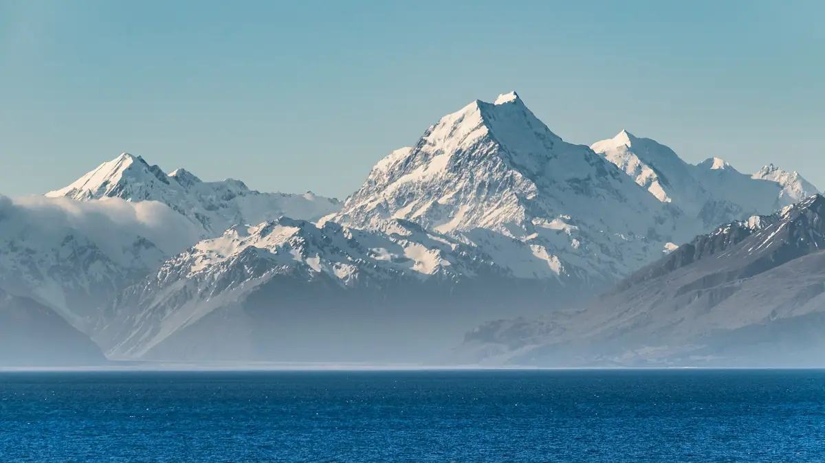
Lake Pukaki at a glance
Lake Pukaki is the long turquoise lake you follow on State Highway 80 on the way to Aoraki/Mount Cook Village. The road runs along the lake, and the mountains of the national park come into view at the far end. Most visitors pass the lake twice, once on the way in and once on the way out, so it is worth deciding in advance where you want to stop.
The lake is fed at its northern end by the braided Tasman River. Views open up along State Highway 80 and along the road between Twizel and Tekapo. Weather decides whether you see the peaks, and nobody can promise it.
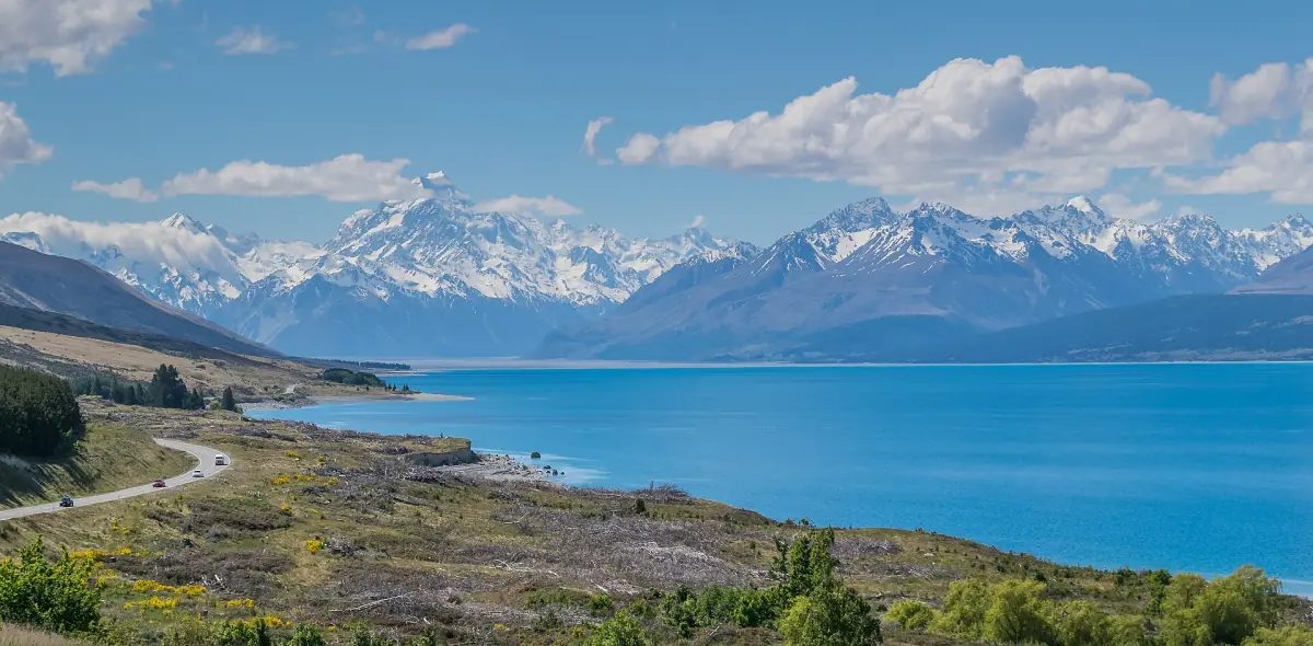
Why Lake Pukaki is so blue
The colour comes from fine rock flour, a powder of ground rock that glaciers carry into the water. The regional tourism organisation explains the turquoise this way. The Tasman River brings the meltwater from the glaciers around Aoraki/Mount Cook into the northern end of the lake, and the particles stay suspended in the water.
Light and weather change how the water looks, so the same stop can look different from one day to the next. Plan more than one chance to see it, once on the way in and once on the way out.
Lake Pukaki and Mount Cook tours
Day trips, scenic flights and guided tours that pass Lake Pukaki on the way to Aoraki/Mount Cook, with live prices and availability.
Peters Lookout and the western shore
The best-known viewpoint on the lake.
Peters Lookout
Peters Lookout, also called Tapataia Mahaka, is a viewpoint on the western shore. The site was redesigned in a project that ran from 2016 to 2020, with Land Information New Zealand, Ngāi Tahu, the transport agency, the district council and DOC involved. The plans covered car parks, a path to the lake, toilets and information signs. Facilities can change, so read the signs on the day.
The name
Tapataia Mahaka refers to a historical mahinga kai settlement at the lake. Mahinga kai means a place where food was gathered.
As a stop on a tour
The Tekapo Shuttle day trip to the park lists Peters Lookout in its programme and a stop at Lake Pukaki on the way back at around 4 p.m. See getting there for the full timetable of that trip.
Rules at the lake
Rules on camping, swimming and boating can differ around the lake. Follow the signs at each stop and do not assume that something is allowed because other visitors do it.
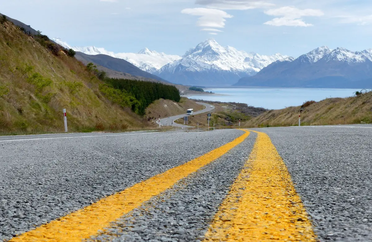
The drive along State Highway 80
From the junction with State Highway 8, it is about 55 km to the village. From Twizel, drive about 9 km north on State Highway 8, then turn left onto State Highway 80. The road ends at the village. It does not continue over the main range to the west coast.
Snow can close State Highway 80 in winter. DOC points drivers to the NZTA traffic information, so check the road before you leave Twizel or Tekapo. Allow time for stops, because the view changes along the lake.
Plan your supplies before the last stretch. The village has a self-service fuel pump that takes cards, but check opening hours before you rely on it. The hotel shop sells snacks, and the nearest shop is in Twizel, 66 km from the village. The Glentanner Park holiday park on the lake has no shop, no fuel station and no dump station. More on routes and times is on the page Getting to Mount Cook.
Flights and stays at the lake
Glentanner Park, on the lake, is a base for more than a campsite.
Helicopter flights from Glentanner
The Helicopter Line departs from Glentanner Park with flights of 25 to 55 minutes over the glaciers and peaks. Check-in closes 30 minutes before departure. Prices and options are compared on the scenic flights page.
Fixed-wing and helicopter flights
Air Safaris offers a Grand Traverse flight from and to Glentanner at NZ$560 for adults and NZ$450 for children aged 3 to 13, valid from 1 October 2026 to 30 September 2027. A version between airports lets you choose Tekapo, Glentanner, Mt Cook or Pukaki.
Glentanner Park
The holiday park offers self-contained and basic units, a dormitory, and powered and unpowered sites. The operator puts it about 18 km from the national park. Shared kitchen and showers are available with the camping options.
For other places to sleep, from the village to Twizel and Tekapo, see where to stay.
Plan the rest of your trip
What comes after the lake.
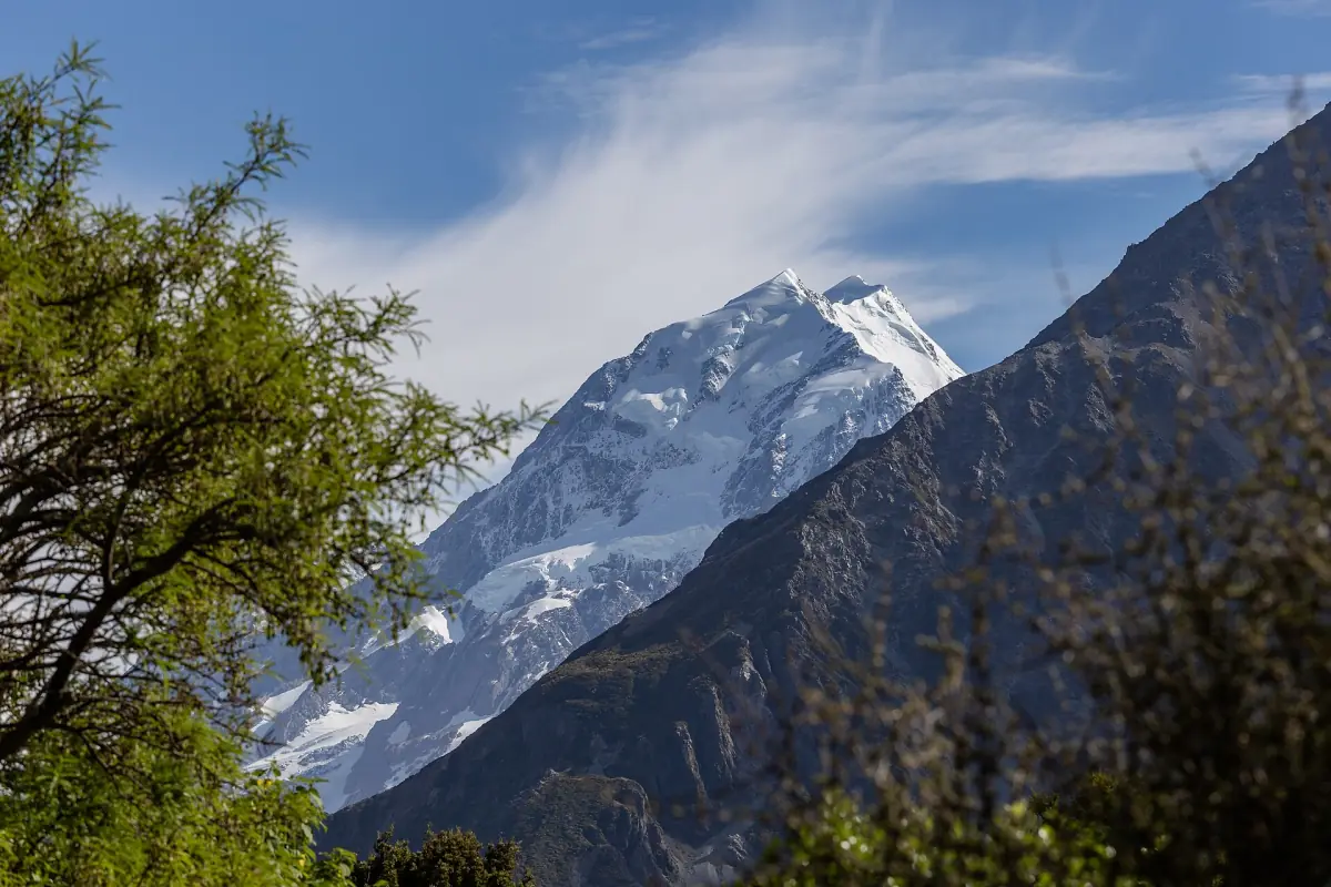
Aoraki/Mount Cook National Park
Walks, rules, parking and the Visitor Centre.
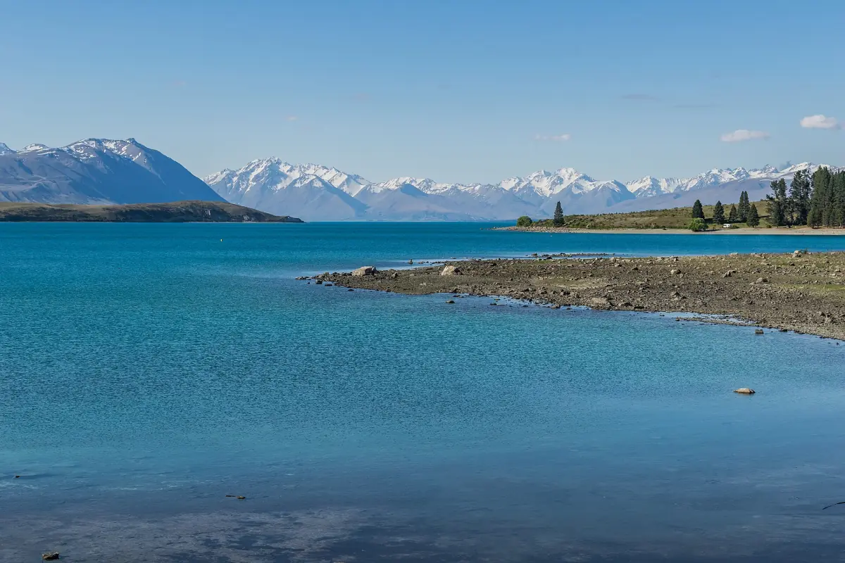
Lake Tekapo
The church, the dark sky and the next lake to the north.
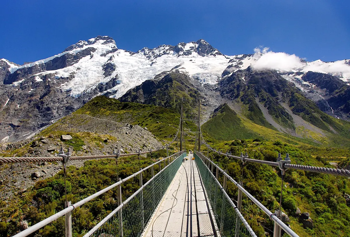
Hooker Valley Track
The most popular walk, at the end of the road.
Another lake with mountain views lies on the other side of the Alps, with its own guide to Lake Matheson. If you like long scenic drives, the Milford Road has its own guide too.
Lake Pukaki: frequently asked questions
Why is Lake Pukaki turquoise?
Fine rock flour from the glaciers is suspended in the water. The Tasman River carries it into the northern end of the lake.
How far is Lake Pukaki from Mount Cook Village?
From the junction of State Highway 8 and State Highway 80 it is about 55 km to the village along the lake. From Twizel add about 9 km on State Highway 8.
Where is Peters Lookout?
On the western shore of the lake, next to State Highway 80. It is also called Tapataia Mahaka. Check the signs on site for current facilities.
Can I fly from Lake Pukaki?
Yes. The Helicopter Line departs from Glentanner Park, and Air Safaris offers Grand Traverse flights from and to Glentanner and between airports that include Pukaki.
Is there fuel or food on the way?
The village has a self-service pump that takes cards, and the hotel shop sells snacks. The nearest shop is in Twizel, 66 km from the village. Glentanner Park has no shop and no fuel station.
Can snow close the road?
Yes. Snow can close State Highway 80, so check the NZTA traffic information before you drive in winter.