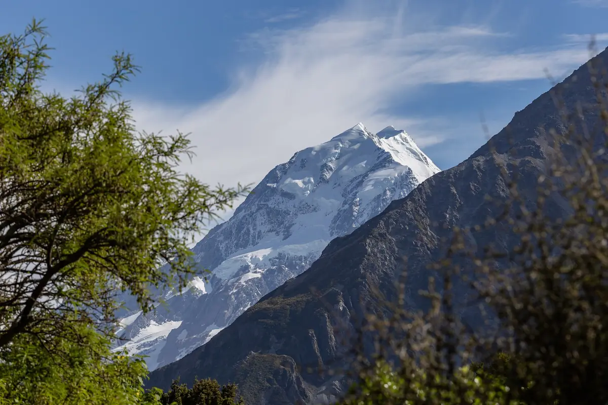
Mount Cook weather in short
There is no single best time to visit Aoraki/Mount Cook, and no official one either. A clear forecast for the Mackenzie Basin can still mean cloud on the peaks. Summer makes many walks easier, but it is not a guarantee of fine weather. The table below gives long-term averages, not a forecast.
The figures are NIWA long-term averages for 1991 to 2020, as shown for the location called Mt Cook on Figure.NZ. Max and min mean the average daily high and low, not records. Rainfall is the average monthly total. These are not summit values.
Mount Cook weather by month
Average daily high and low in °C and average monthly rainfall in mm, 1991–2020.
| Month | High °C | Low °C | Rainfall mm |
|---|---|---|---|
| January | 20.4 | 8.7 | 418.7 |
| February | 20.8 | 8.5 | 272.0 |
| March | 18.4 | 6.5 | 315.0 |
| April | 14.9 | 4.0 | 336.5 |
| May | 11.0 | 1.3 | 377.8 |
| June | 7.9 | −1.4 | 291.0 |
| July | 7.2 | −2.2 | 288.6 |
| August | 9.1 | −0.8 | 283.8 |
| September | 11.8 | 1.5 | 361.0 |
| October | 14.0 | 3.1 | 394.4 |
| November | 16.3 | 5.0 | 367.6 |
| December | 18.5 | 7.0 | 425.9 |
Daily highs are above 18 °C only from December to March, and lows fall below freezing in June, July and August. Rain is spread through the year: every month averages more than 270 mm, and December and January are the wettest.
Mount Cook tours for every season
Scenic flights, glacier boat trips and stargazing around Aoraki/Mount Cook, with live prices and availability.
Rain on the mountains, less in the basin
Why Lake Tekapo can be dry while Mount Cook is cloudy.
NIWA describes a wet main divide and a drier basin in its lee. The Tekapo figures below show how large the gap is. They come from an older NIWA publication (2018) and the earlier 1981–2010 period, so compare the pattern, not single months. Tekapo is not a stand-in for the village, and the two columns are not one station.
| Month | Mount Cook, mm (1991–2020) | Tekapo, mm (1981–2010) |
|---|---|---|
| January | 418.7 | 44 |
| February | 272.0 | 36 |
| March | 315.0 | 49 |
| April | 336.5 | 45 |
| May | 377.8 | 57 |
| June | 291.0 | 60 |
| July | 288.6 | 50 |
| August | 283.8 | 58 |
| September | 361.0 | 50 |
| October | 394.4 | 50 |
| November | 367.6 | 41 |
| December | 425.9 | 52 |
Added up, the Mount Cook months come to about 4,130 mm a year and the Tekapo months to about 590 mm. For the west side of the divide, see the Franz Josef weather page and, for Fiordland, the Milford Sound weather page.
Seasons and what they mean for your plans
Based on what DOC and the operators say, not on a promise of weather.
Summer, December to February
DOC rates the Mueller Hut route as moderate tramping in summer when conditions are suitable. It is the warmest time: highs of 18.5 to 20.8 °C in the table. Snow and ice are still possible on higher ground.
Autumn and spring
These seasons can bring winter conditions on the mountain. DOC warns of snow and ice on the Sealy Tarns track from March to November. Avalanche danger on the Mueller route is considerable, especially from April to mid-November.
Winter, June to August
DOC expects mountaineering experience for the Mueller route, with ice axe, crampons, navigation and avalanche rescue gear. On the Hooker Valley Track it recommends microspikes and poles. Snow can close State Highway 80, and the glacier boat trip takes a break from about mid-June to the end of August.
All year
Snow and avalanches are possible outside winter, so check the conditions at the visitor centre before any alpine walk. Look at the NZTA road report before you drive to the village.
How weather affects tours and walks
Rules differ by operator. Read your booking terms.
| Activity | What weather changes |
|---|---|
| Scenic flights | Route and landing depend on the pilot's decision; one operator lists rebooking or a full refund if a flight is cancelled for weather |
| Glacier boat trip | Full refund or another date if cancelled for weather; icebergs and calving are not guaranteed |
| Big Sky Stargazing | Weather dependent; a 45 minute planetarium show and a 75 % refund if cancelled |
| Summit Experience, Tekapo | An indoor programme, or a rebooking, voucher or refund |
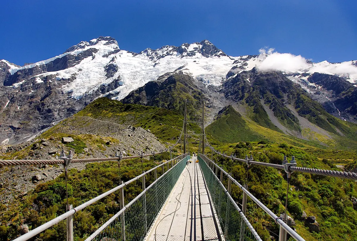
| Hooker Valley Track | Open to the lake, but weather can close sections at short notice |
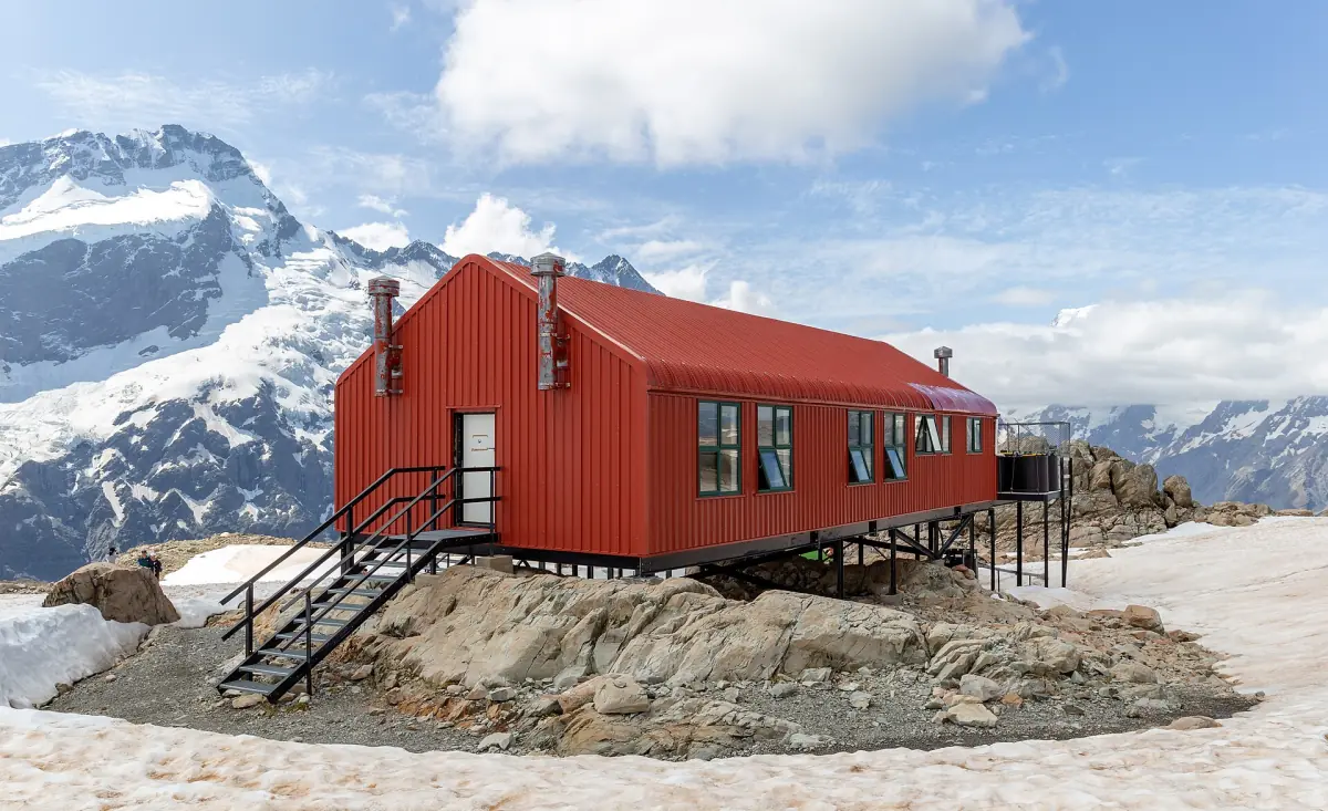
| Mueller Hut and Sealy Tarns | No shelter on the Sealy Tarns climb, so turn back in bad weather |
Plan with the weather in mind
Pages that go with a day of changing conditions.
Mount Cook weather: frequently asked questions
What is the best month to visit Mount Cook?
There is no single best month. Summer, from December to February, makes many walks easier, and DOC treats Mueller Hut as moderate tramping then. Winter brings snow, ice and avalanche danger. Pick the month by what you want to do and read the Mueller Hut page if you plan an alpine trip.
How cold does it get at Mount Cook?
The average daily low is −1.4 °C in June, −2.2 °C in July and −0.8 °C in August. The average daily high in July is 7.2 °C. These are averages, not records, and the summits are colder.
Does it rain a lot at Mount Cook?
Yes. Every month averages 272 mm or more, and December and January are the wettest at 425.9 and 418.7 mm. Lake Tekapo is far drier, around 590 mm a year in an older NIWA table.
Can snow close the road to Mount Cook?
Yes. Snow can close State Highway 80, and DOC points to the NZTA road report. Check it before you leave, especially in winter and in the shoulder seasons.
Do boat trips and flights run in winter?
Flights, stargazing and the Summit Experience all depend on the weather. The glacier boat trip takes a break from about mid-June to the end of August. Check each booking page for the dates.
Is the clear sky guaranteed for stargazing?
No. The Dark Sky Reserve covers the park and the Mackenzie Basin, but clouds can still block the view. Operators offer an indoor programme, a rebooking or a part refund, depending on the tour. See Lake Tekapo.